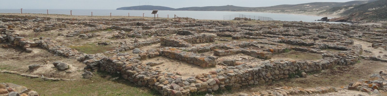
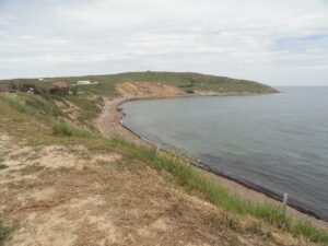
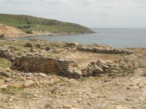
 Poliochni is the most impressive archaeological site on the Greek island of Lemnos and is considered to be one of the earliest towns in Europe. It was built on a ridge overlooking the sea on the east coast of the island. It was inhabited at the same time as the earliest layers of Troy and is thought to have had an economic rivalry with that city, which was located 77 km to the east, across the stretch of sea separating Lemnos and the mouth of the Dardanelles Strait.
The Italian archaeologists who first excavated Poliochni created a naming system of colors to label the different periods of the site, some of which have also been used in reference to the same periods of other prehistoric sites on Lemnos — Myrina and Koukonisi. The initial settlement of Poliochni around 3500 BC kicked off its Black period, with the site later expanding in the Blue and Green periods, becoming more fortified in the Red period, and then shrinking during the Yellow century, at the end of which it was destroyed by an earthquake around 2100 BCE, although there are traces of limited continued settlement beyond that date.
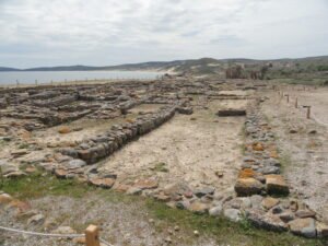
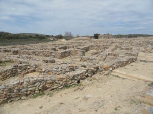
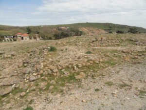
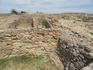
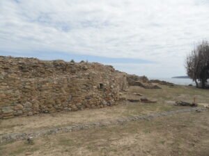
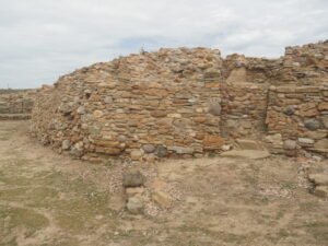
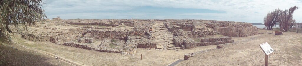
The site today is a hive of the bases of the walls which demonstrate where the structures of the town stood and their shapes.
The northern end is built on the highest part of the site, and there are traces of fortifications dating from the Red period.
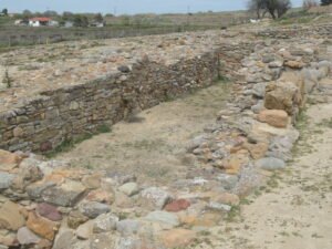
Nearby is the foundation of the only free-standing megaron, or great hall, found at the site. It was built sometime around 2500 BCE. A human skeleton was found inside it when it was excavated.
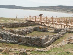
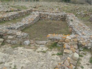
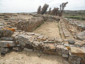
Closer to the center of the site, adjacent to the avenue which runs through the southern part of the site, is a structure which is called the “Granary”, although its use is not certain. It dates back to the early 3rd millennium BCE.
Across the avenue is another structure with a notable layout, built at the same time as the “Granary”. It was dubbed the “Bouleuterion”, or assembly hall, because what appeared to be benches were added against one of the walls two or three centuries after it was constructed, although it is more likely that the purpose of the benches as well as the building itself were to reinforce the southern retaining wall of the settlement.
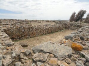
The southern retaining wall are the tallest structures found at the site today.
At the end of the wall, and at the western end of the above-mentioned avenue, a few meters west of the “Granary” and “Bouleuterion” is the western gate of the settlement.
Tips for the Visitor
The drive to the site from the airport is 17 km, and a taxi will cost around 30 euro. Coming from the island’s main town of Myrina (where the ferries dock), you’ll need to cover twice that distance. There are some very infrequent buses connecting Myrina to some of the towns and villages on the east side of the island not too far from the site, although finding info on schedules is difficult, and it’s best to check with the bus station’s office in Myrina.
Like all the archaeological sites in Lemnos which have ticketed admission, the site is open 08:30-15:30 daily except Tuesdays and costs 5 euro. The visitor’s center has a room with a model of the site, info panels, a video presentation, and replicas of some of the artifacts found there.
Location Map